Details
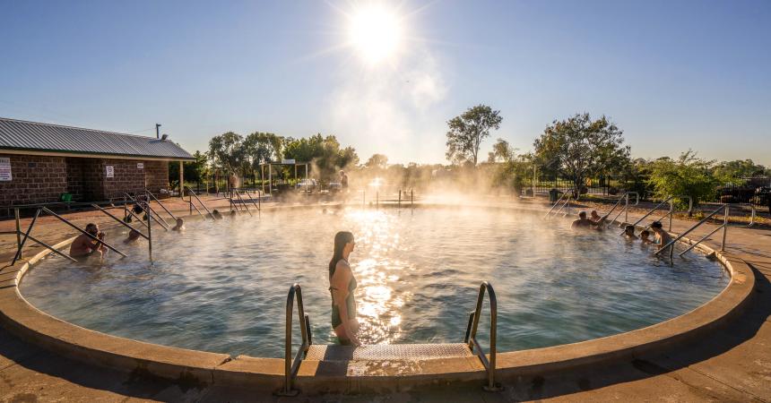
The Great Artesian Basin covers 1.7 million square kilometres, and is one of the largest and deepest freshwater basins in the world.


Sights & Activities


The health giving waters that flow into the Pilliga Artesian Bore Baths have been doing so for well over a century.

Sights & Activities


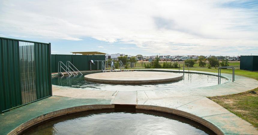
The Burren Junction Bore Baths and Camp Ground are located in a rural setting, 100 metres off the Kamilaroi Highway on a sealed road.

Sights & Activities


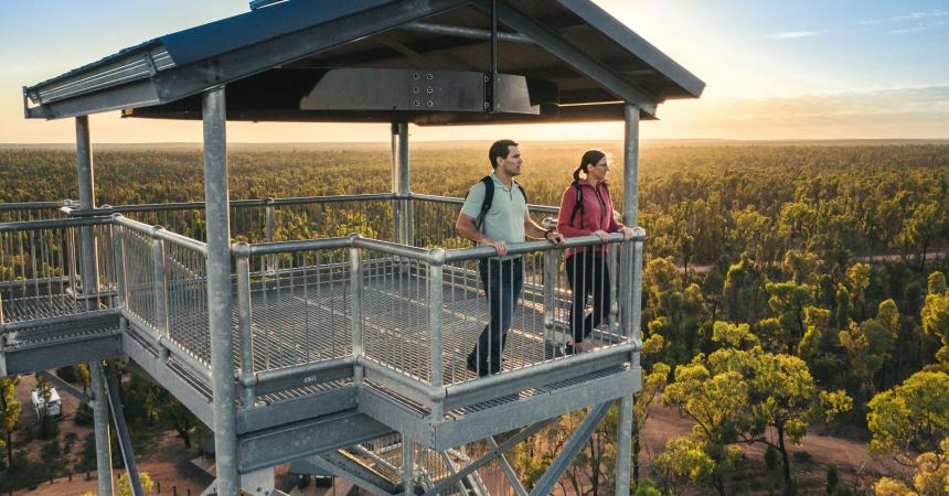
The Gwydir Wetlands State Conservation Area, near Moree, is once again open to the public as bird life returns to this internationally recognised wetlands.


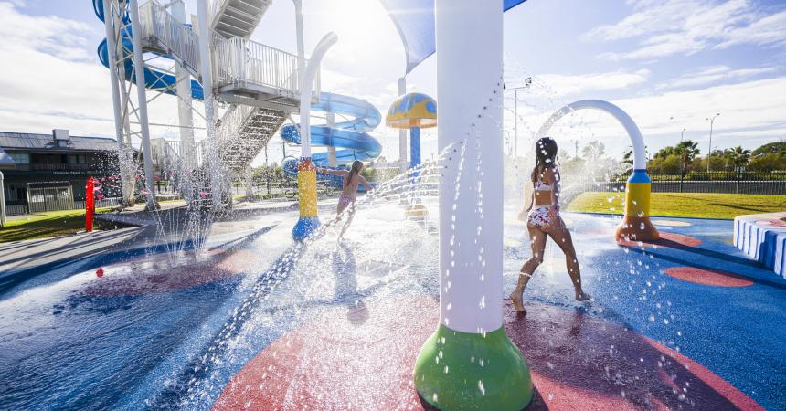
The Moree Artesian Aquatic Centre is nature's magic at work! The complex has recently undergone a AUD7 million redevelopment. The benefits of natural artesian mineral


Sights & Activities


Lightning Ridge District Bowling Club Ltd has grown dramatically over the last few years fulfilling its social and sporting obligations to the community.
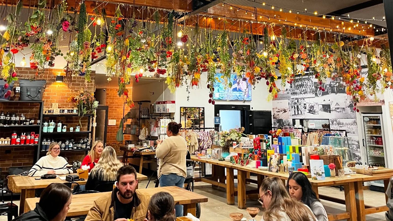

Stone's Throw is a coffee-come-gift store situated in the small farming town of Walgett.

Sights & Activities


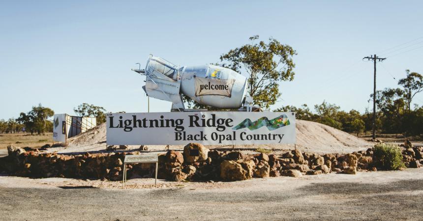
The water found in the Bore Baths at Lightning Ridge comes from the Great Artesian Basin and is approximately two million years old!
Using QR Codes
Open your Camera App or download a QR reader
Point your camera at the QR Code which will launch the correct app
Access websites and features such as maps and directions
Optional Downloads
GPX File
For use in apps such as GPS Navigation and wearable devices
KML File
For use in offline mapping products, such as maps.me and Google Maps
PDF File
A link to this document
Build your own itineraries
Alpaca provides a way for you to build your own itineraries. Visit https://alpaca.travel
Terms of Service and Attribution
Copyright Alpaca.travel, Mapbox.com and OpenStreetMaps
openstreetmaps.com.
Terms of Service
https://alpaca.travel/terms