Expert Guide to the Waterfall Way
Ebor Falls in Guy Fawkes River National Park

Details

Open leg route
195.0KM / 121.2MI (Est. travel time 2 hours)

Wind from the sparkling seaside of Coffs Harbour to Armidale, travelling through World Heritage rainforests and along the Great Escarpment.

Feel the sense of adventure as you leave the rush of the motorway behind, slow down to explore the twists and turns of these country roads, and stop for a while in friendly villages and towns.As the name suggests, this road trip gives you the chance to see some stunning waterfalls, but you won’t just see them from afar. You can also walk behind one and swim behind another, so if the weather’s warm enough pack your cossie for a refreshing dip.
Open in mobile
1
Coffs Harbour

Open in mobile
Surfers heading out for a morning surf at Diggers Beach, Coffs Harbour.
Get Directions
Our journey begins in Coffs Harbour and, as we’ll be hitting the road early, you’ll want to spend a day or two here before it’s time to go. Coffs may have a population of around 70,000 people but it still feels like an Aussie beach town and, with more than 90km of sandy beaches, there’s plenty of room to spread out. If it’s whale season (between May and November) you can not only watch them from the shore you can also go swimming with humpbacks.
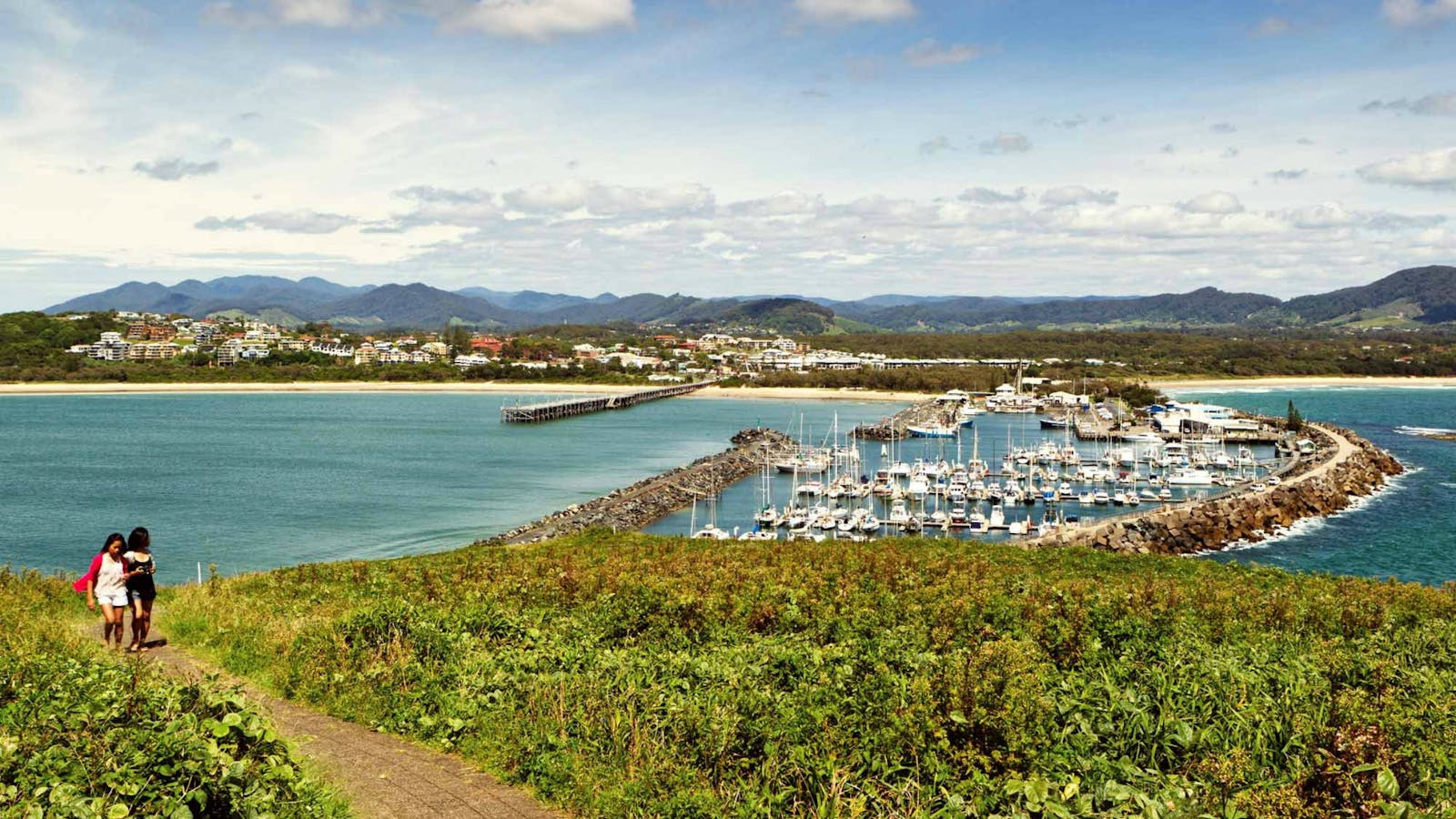
The family fun at Australia’s first ‘Big Thing’ the Big Banana is a whole lot splashier since it added its own Water Park in 2015. Down at Jetty Beach you can walk out over the northern breakwall to Muttonbird Island Nature Reserve or explore cafes and restaurants along the Jetty Strip.
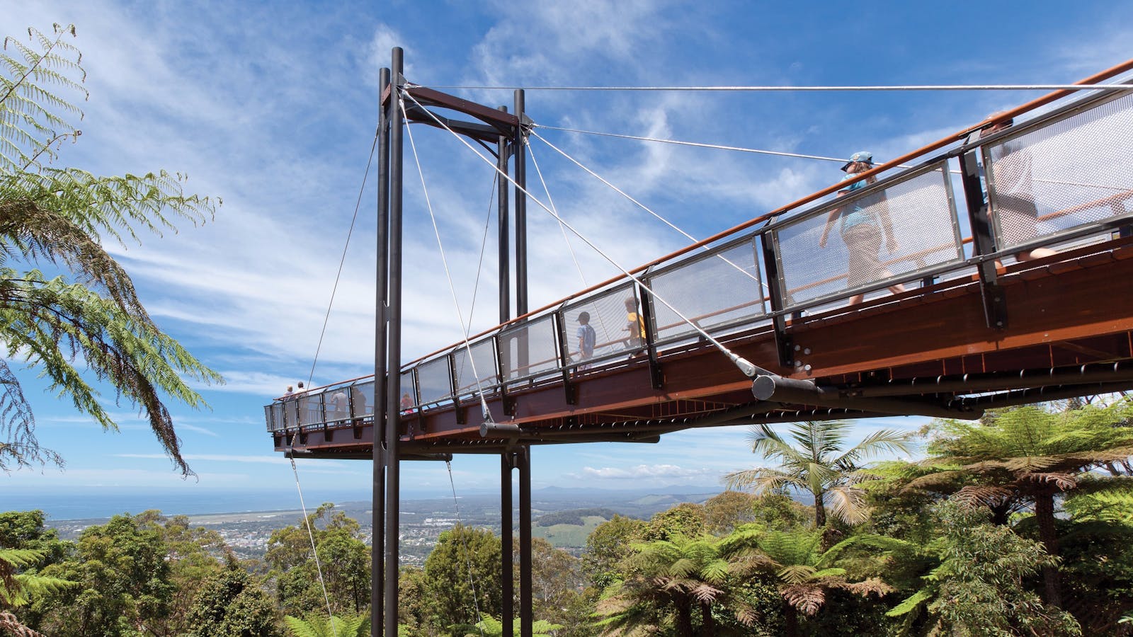
A 10min drive up through the banana plantations will take you to the Forest Sky Pier at Sealy Lookout where you can breathe in sweeping coastal views, follow the indigenous story trail along the Gumgali walking track, or climb up rope ladders and fly down zip lines on a TreeTops adventure.
The Big Banana Fun Park
The Big Banana Pty Ltd
351 Pacific Highway, Coffs Harbour, New South Wales, Australia, 2450
(02) 6652 4355
fun@bigbanana.com
Get Directions
Caters for people who use a wheelchair. Caters for people who are blind or have vision loss., Wheelchair Access
Public Toilet, Parents Room, Picnic Area
Picnic Area, Cafe, Barbeque, Kiosk
Public Telephone, Public Toilet
Lookouts, Games or Recreation Room, WiFi
Parking, Coach Parking, Electric Vehicle Charging Point
Caters for people who use a wheelchair. Caters for people who are blind or have vision loss., Wheelchair Access, Caters for people who use a wheelchair. Caters for people who are blind or have vision loss.

The Big Banana is Australia's original and most iconic Big Thing. No trip along the Coffs Coast is complete without a stop!

Jetty Beach
Coffs Coast
Jordan Esplanade, Coffs Harbour, New South Wales, Australia, 2450
Get Directions
Caters for people who use a wheelchair. Caters for people with high support needs who travel with a support person., Wheelchair Access, Free Entry
Public Toilet, Picnic Area
Picnic Area, Cafe, Barbeque, Kiosk
Public Telephone, Public Toilet
Canoeing/Kayaking, Cycling, Fishing, Sailing, Snorkelling, Surfing, Swimming, Walks, WiFi
Parking
Caters for people who use a wheelchair. Caters for people with high support needs who travel with a support person., Wheelchair Access, Catering for High Support, Caters for people who use a wheelchair. Caters for people with high support needs who travel with a support person.

Jetty Beach is a protected beach which is popular with both locals and tourists alike, especially families.
Muttonbird Island Nature Reserve
Photo: Rob Cleary
Marina Drive, Coffs Harbour, New South Wales, Australia, 2450
1300 072 757
parks.info@environment.nsw.gov.au
Get Directions
Birdwatching

The Eastern lookout offers spectacular views of the Solitary Islands. Explore the area's Aboriginal cultural significance on a school excursion, or enjoy some whale watching

Coffs Harbour Marina and Jetty Area
1 Marina Drive, Coffs Harbour, New South Wales, Australia, 2450
(02) 6648 4990
paradise@coffscoast.com.au
Get Directions
Free Entry
Public Toilet, Picnic Area
Picnic Area, Cafe, Barbeque, Kiosk
Public Toilet
Lookouts, Boating Facilities, WiFi
Parking

Exploring Jetty Beach and foreshores is the perfect way start to your visit to Coffs Harbour.
Niigi Niigi - Sealy Lookout
Forestry Corporation of NSW
Sealy Lookout Drive, Coffs Harbour, New South Wales, Australia, 2450
1300 655 687
visit@fcnsw.com.au
Get Directions
Caters for people who use a wheelchair., Wheelchair Access, Free Entry
Public Toilet, Picnic Area
Picnic Area, Cafe
Public Toilet
Lookouts
Parking, Coach Parking
Caters for people who use a wheelchair., Wheelchair Access, Caters for people who use a wheelchair.

The Forest Sky Pier is located at Sealy Lookout, within Bruxner Park Flora Reserve, Orara East State Forest - only five kilometres from Coffs Harbour.

Gumgali Track
Louise Faulkner Photography
Sealy Lookout Drive, Korora, New South Wales, Australia, 2450
1300 655 687
visit@fcnsw.com.au
Get Directions
Free Entry
Public Toilet, Picnic Area
Picnic Area
Public Toilet
Parking

Gumgali Track is located in the beautiful Orara East State Forest, also home to Sealy Lookout and the Forest Sky Pier.
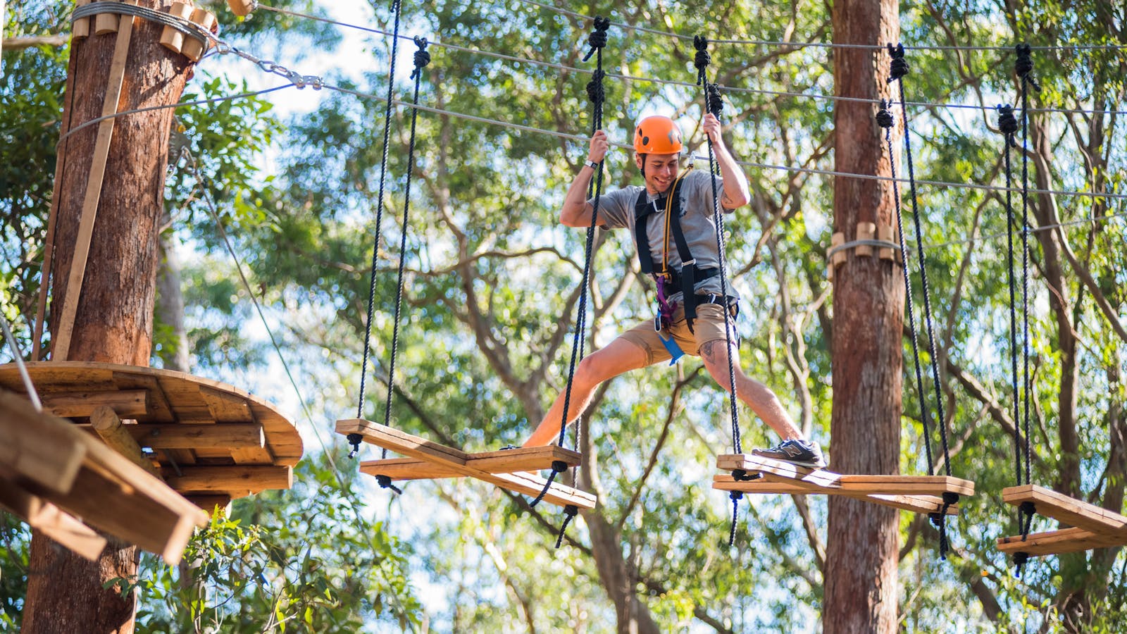
TreeTops Coffs Harbour
Treetops Adventure
Sealy Lookout Drive, Coffs Harbour, New South Wales, Australia, 2450
(02) 5626 5461
coffsharbour@treetopsadventure.com.au
Get Directions
Public Toilet, Picnic Area
Picnic Area
Public Toilet
$35 ~ $65 AUD
Parking

Treetop Adventure Park is a recreation activity in the tree tops, where participants slide down flying foxes, move from tree to tree on suspension bridges.

2
Bellingen

Open in mobile
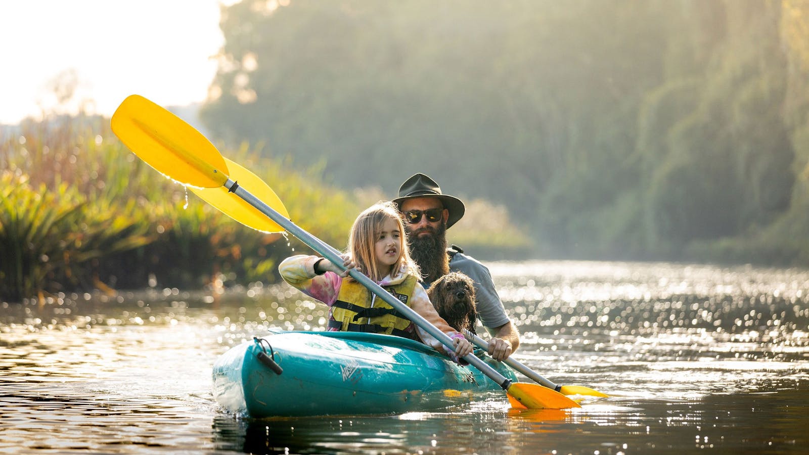
Canoeing along the Bellinger River
Arrive via car from Bellingen36KM / 22MI ~ Approximately 29 minutes
Get Directions
It’s time to leave the ocean in your rear view mirror. You’ll only have 22km on the Pacific Highway before you turn off so now’s the time to set the cruise control and sing along to the TLC classic 'Waterfalls'. Take the Waterfall Way exit, or the B78 as it’s less romantically known, and drive past farmland with cows crossing signs on the road.
Skip your hotel breakfast and save your appetite for the Old Butter Factory Cafe on the way into Bellingen. There’s more than 100 years of history in the old factory, which now has a mix of galleries and shops. The cow statues on your right let you know you’re arrived and after a hearty breakfast you’re ready to drive into town to explore.
Bohemian Bellingen is a mix of independent boutiques, artisan shops and organic cafes. Admire historic buildings as you stroll along Hyde Street, including old Hammond and Wheatley Building, which is now home to Emporium Bellingen downstairs and the Dervish Gallery above.
If you’re spending a night or two along the Waterfall Way you’ll even have time to join Bellingen Canoe Adventures for a paddle on the Bellinger River or to get the blood pumping on a mountain bike trail.

Sights & Activities

Bellingen Canoe Adventures
4 Tyson Street, Fernmount, New South Wales, Australia, 2454
(02) 6655 9955
jody@canoeadventures.com.au
Get Directions

Bellingen Canoe Adventures offers canoe trips to all ages, from beginners to the more advanced - flatwater, whitewater, sunset and full moon tours are available.

3
Dorrigo National Park

Open in mobile
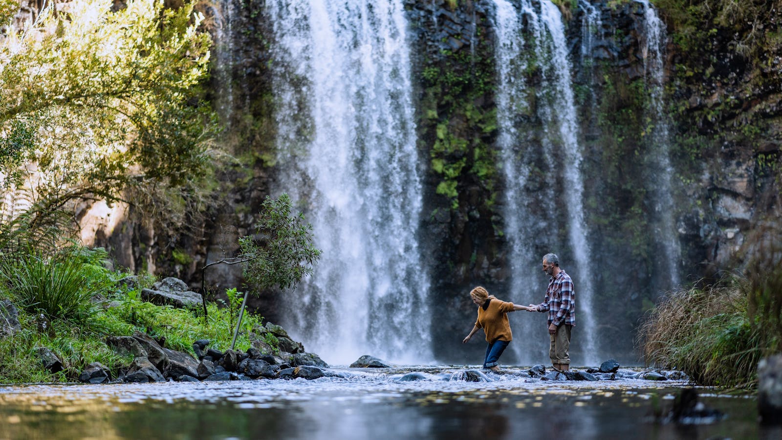
Follow the walk to Crystal Shower Falls, Dorrigo National Park
Arrive via car from Dorrigo National Park29KM / 18MI ~ Approximately 22 minutes
Get Directions
Take the slow and winding road between Bellingen and Dorrigo, where at times it’s so narrow you’ll be taking turns to cross single lane bridges. If you’ve called shotgun, keep your camera handy for the small waterfalls you’ll pass along the way. Turn the music off and wind your window down to let the calls of rainforest birds create the perfect soundtrack.
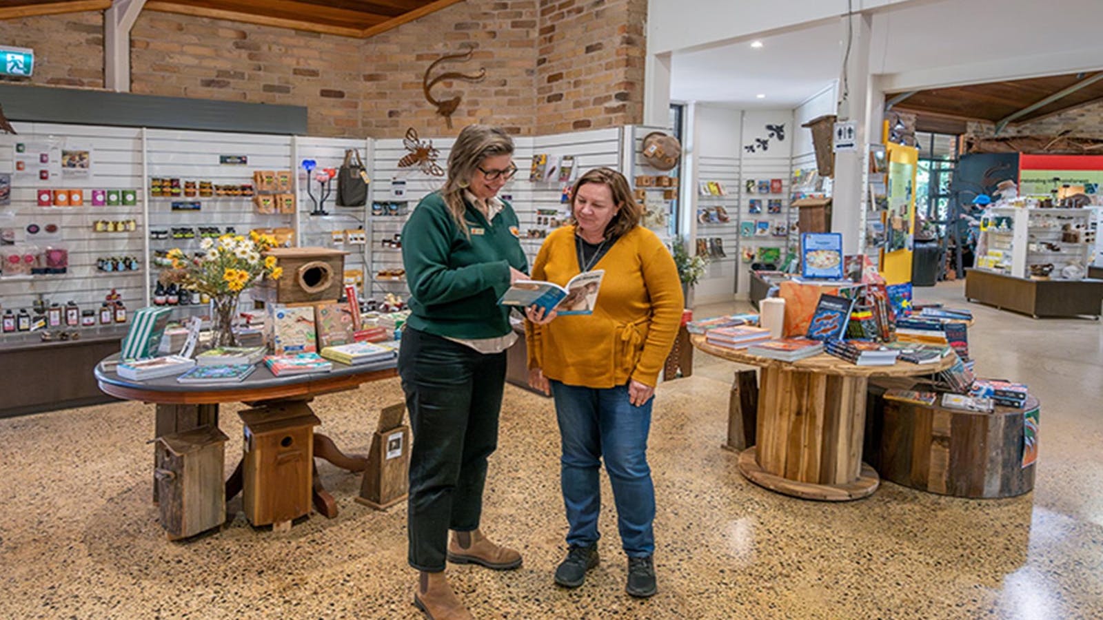
At the Dorrigo Rainforest Centre you can learn about local plants and animals, be tempted by their excellent gift shop, and have a drink or bite to eat at the Canopy Café. Just outside the centre the Skywalk takes you out above the edge of the escarpment for panoramic views of the Bellinger Valley and the Rosewood rainforest basin.
Drive to the car park at The Glade to shave a little time off your walk down to the Crystal Shower Falls. This 3.5km return walk in Gondwana Rainforest takes you through 600-year old trees including towering, twisted strangler figs before the big reveal of the falls comes on a suspension bridge. Don’t stop there; go down into the cavern behind the falls and look back out at the rainforest through the falling water.
The full Wonga Walk from The Glade is 5.8km and takes around 2.5 hours. If time permits it will also let you see the Tristania Falls, but there are bigger and better falls coming, so don’t worry if you have to skip that one.
Dorrigo Rainforest Centre
NSW Government
Dorrigo National Park, Dorrigo Mountain, New South Wales, Australia, 2453
(02) 6657 5913
dorrigo.rainforestcentre@environment.nsw.gov.au
Get Directions
Free Entry
Public Toilet, Picnic Area
Picnic Area
Public Toilet
Birdwatching, Walks, WiFi

Learn about the National Park's flora and fauna in the intriguing education area at the Dorrigo National Park Rainforest Centre.
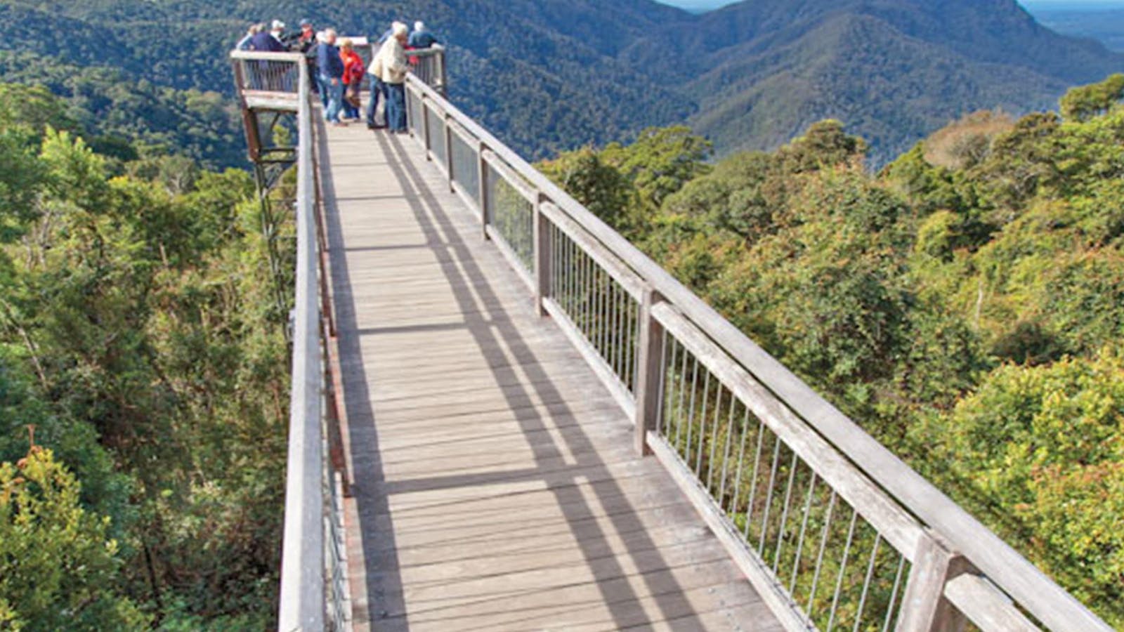
Skywalk Lookout
Corner Dome Road and Lyrebird Lane, Dorrigo Mountain, New South Wales, Australia, 2453
1300 072 757
parks.info@environment.nsw.gov.au
Get Directions
Non-smoking
Cafe, Barbeque, Kiosk
Lookouts
Parking

Directly connected to Dorrigo Rainforest Centre, Skywalk lookout offers a bird's-eye view of the surrounding landscape.
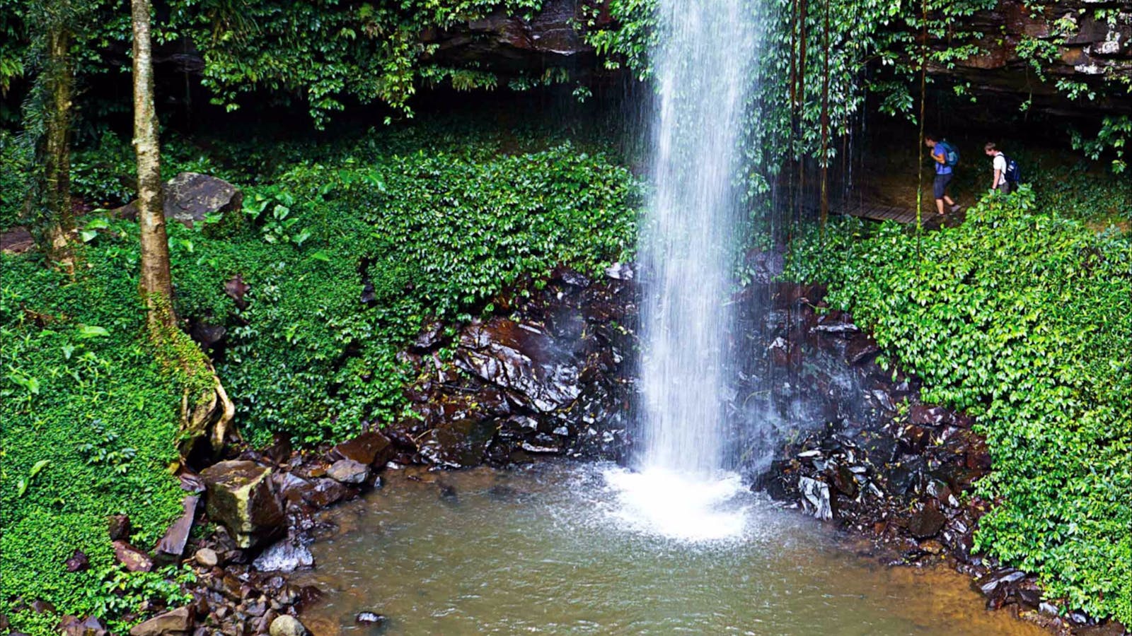
Crystal Shower Falls Walk
Photo: Rob Cleary
Lyrebird Lane, Dorrigo Mountain, New South Wales, Australia, 2453
Get Directions
Walks, Hiking

Walk through lush rainforest to reach Crystal Shower Falls in Dorrigo National Park near Coffs Harbour. Enjoy spectacular views from the rocky cavern behind the
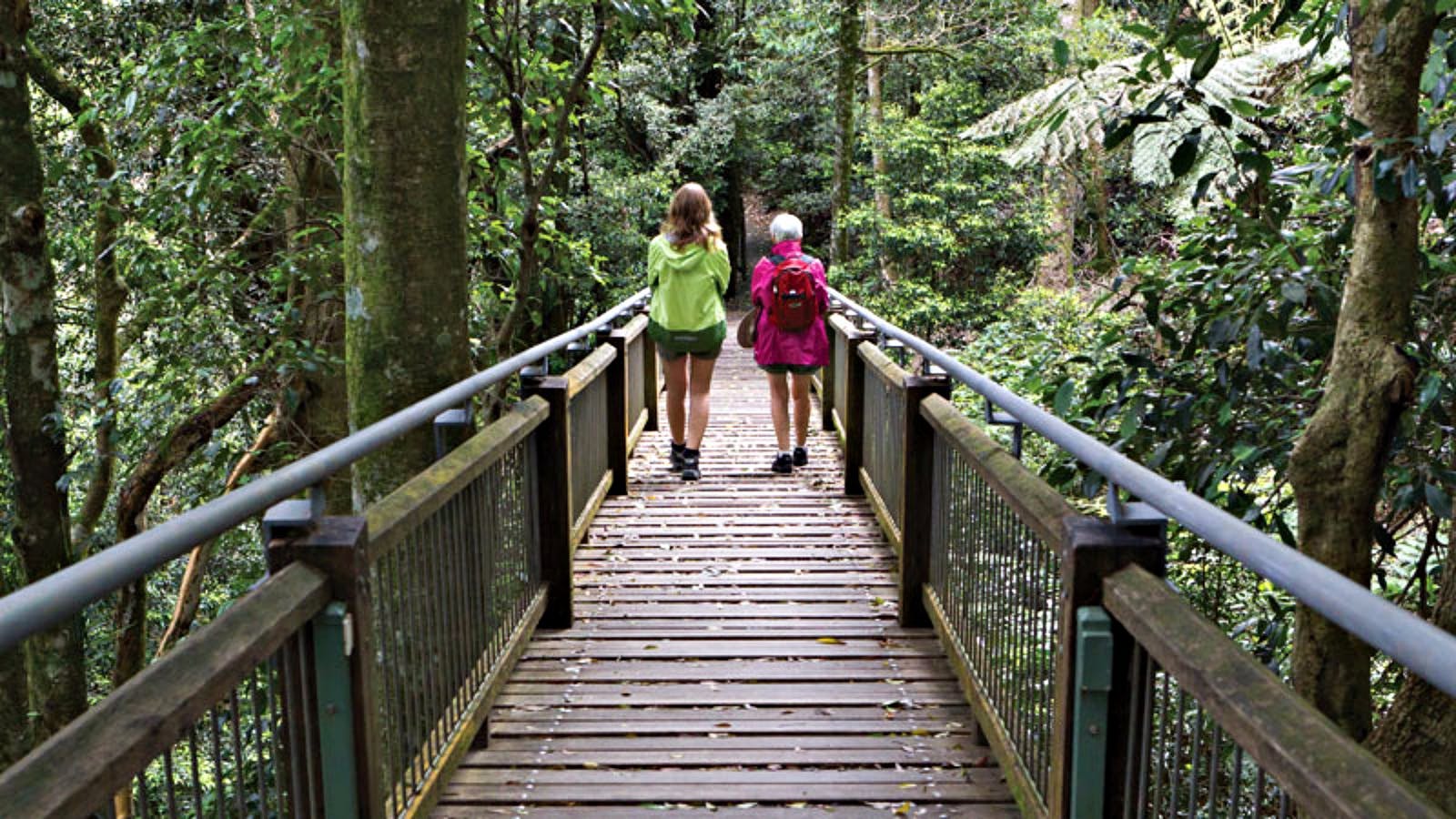
Wonga Walk
Photo: Rob Cleary
Lyrebird Lane, Dorrigo, New South Wales, Australia, 2453
Get Directions
Walks, Hiking

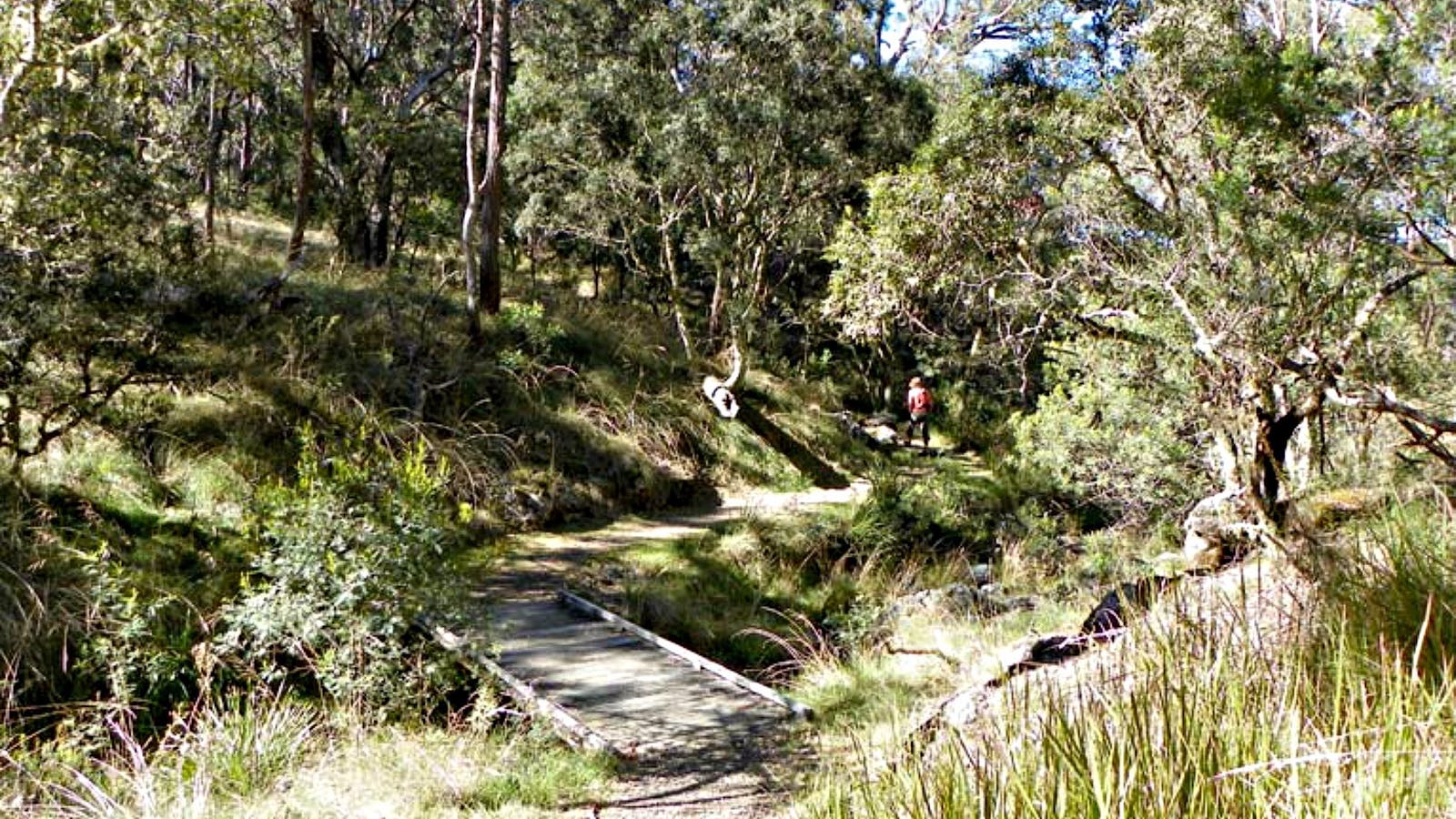
Take a walk amongst subtropical rainforest and 600-year-old trees along the Wonga walk in Dorrigo National Park, home to the Tristania and Crystal Falls. The

4
Dorrigo & Dangar Falls

Open in mobile
Swim at the base of Dangar Falls near Dorrigo
Arrive via car from Dorrigo & Dangar Falls4KM / 2MI ~ Approximately 3 minutes
Get Directions
In the small town of Dorrigo, population 1,042, there’s a sense of rebirth and reinvention. Younger families have been moving into town, new businesses have been born and some older ones have been given a new lease of life.
At Components Café the new owners are serving up delicious all day breakfasts and lunches, as well as selling local products including Avirida’s cruelty free organic skincare in compostable timber pots. At Red Cedar the focus is on ethically made Australian labels, while Miss Wink has a carefully curated selection of gifts and homewares to choose from.
Take a few moments to get up close to the huge mosaic mural next to the Information Centre on Hickory Street, before heading across the road to see the creations in local artist Peter Mortimore’s Gallery.
Follow the Coramba Road a few minutes north of Dorrigo to reach Dangar Falls. The 30m falls are beautiful to see from the viewing platform right next to the car park, or better yet, take the 20min walk down to the falls and back. If the water’s warm enough you can swim out behind the falls, but keep in mind the water is deep and there’s nowhere to rest so this is for stronger swimmers only.

Sights & Activities

Dangar Falls
Bellingen Shire Council
Coramba Road, Dorrigo, New South Wales, Australia, 2453
(02) 6657 2486
Get Directions
Lookouts

Two kilometres north of Dorrigo town centre is Dangar Falls, a beautiful 30-metre waterfall set amidst scenic agricultural and dairy farmland.

5
Ebor Falls

Open in mobile
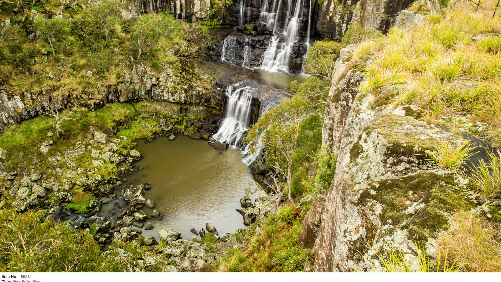
Ebor Falls in Guy Fawkes River National Park
Arrive via car from Ebor Falls47KM / 29MI ~ Approximately 31 minutes
Get Directions
As you head back into town and rejoin the Waterfall Way to Ebor, it would be easy to believe you’ve taken a wrong turn and ended up in rural England. The rolling green hills are nothing like the countryside we’ve driven through so far, and there in the distance is a glimpse of the wild national parks we’ll be visiting soon.
Just on the other side of Ebor village you’ll turn right to visit Ebor Falls. Here the Guy Fawkes River turns to whitewater as it drops 100m over two waterfalls and, while it’s only possible to see the top falls until a new viewing platform is built, that half alone is well worth stopping for.
If it’s trout fishing season (and you have your licence and tackle) you can try your luck in the river right next to the Ebor Falls Hotel Motel. On the way out of town you can also pay a visit to the Dutton Trout Hatchery on Point Lookout Road where they raise around two million fish a year to release into waterways.
If time permits, continue past the hatchery to Point Lookout where on a clear day you can see all the way to the ocean over World Heritage bushland from your spot 1,500m above sea level.

Sights & Activities

Ebor Falls
Ebor Falls Road, Ebor, New South Wales, Australia, 2453
1300 072 757
parks.info@environment.nsw.gov.au
Get Directions
Non-smoking
Barbeque
Lookouts
Parking

Watch the Guy Fawkes River plunging 100 metres over two waterfalls at Ebor Falls.

6
Wollomombi Falls

Open in mobile
The lookout over Wollomombi Falls - Leah Pippos, NPWS
Arrive via car from Wollomombi Falls41KM / 25MI ~ Approximately 28 minutes
Get Directions
Continue along the Waterfall Way for your final waterfall of the day, the dramatic and sometimes elusive Wollomombi Falls. Follow the signs to the Falls Picnic Area and then take the path to the right to reach the new wheelchair accessible viewing platform that opened in May 2020.
At 220m or 260m, depending on how you measure them, Wollomombi Falls are the highest in NSW, cascading over towering cliffs into the valley below. On a rainy day they may play hide and seek behind swirling fog and mist, and during long dry spells they may not appear at all. But even if the falls are out of sight the view over the gorge is a sight to be seen.
If you have enough energy and daylight up your sleeve, follow the path to the left of the picnic area through a dingo fence and over the Wollomombi River to another, closer lookout. But remember it’s a 4km return, Grade 3 walk that takes around 1.5 to 2 hours to do, so check sunset times before you set off.
Wollomombi Walking Track
Photo: J Lehmann
Wollomombi Falls Road, Hillgrove, New South Wales, Australia, 2350
Get Directions
Walks, Hiking

It’s all waterfalls and wilderness on this easy walk around the rim of the Wollomombi Gorge high in the falls country of the Northern Tablelands,

Wollomombi Gorge and Falls Picnic Area
Photo: Rob Cleary
Wollomombi Falls Road, Hillgrove, New South Wales, Australia, 2350
1300 072 757
parks.info@environment.nsw.gov.au
Get Directions
Picnic Area
Picnic Area

If you love the raw power and beauty of rugged wilderness, then a visit to Wollomombi Falls campground and picnic area in New England is

7
Armidale

Open in mobile
The Imperial Hotel and Post Office, Armidale
Arrive via car from Armidale40KM / 25MI ~ Approximately 30 minutes
Get Directions
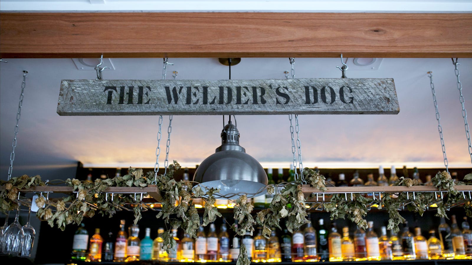
The final stretch of the Waterfall Way travels through New England farmland and ends in Australia’s highest city, Armidale. As you’ll be arriving at the end of the day you may enjoy celebrating with a local craft beer at The Welder’s Dog or catching some live music with a cocktail at Charlie’s Last Stand.
Give yourself a day or two at the end of the road trip to get to know the city, starting with breakfast at The Goldfish Bowl. Wander past heritage-listed buildings like the Cathedral and Post Office, visit the New England Regional Art Museum to see Australian art treasures including works by Arthur Streeton and Norman Lindsay, and head just past the airport for a guided tour of the 30 room Edwardian mansion, Saumarez Homestead.
In the open air Beardy Street Mall, the art deco Tattersalls Hotel offers fine dining in the restaurant, and right next door the New England Collective is a treasure trove of products from local designers and artisans.
To end your journey on a real high, take a Fleet Adventures helicopter over the gorges to see the Wollomombi Falls and others from above. You can choose to have the doors on or off for an extra adrenalin kick, and when you look down at the heart shaped formation in the mountains known as the Heart of New England, you’ll feel the love for this special corner of NSW.
The Welders Dog
The Welders Dog
120 Marsh Street, Armidale, New South Wales, Australia, 2350
0423 200 699
Get Directions
Caters for people with sufficient mobility to climb a few steps but who would benefit from fixtures to aid balance. (This includes people using walking frames and mobility aids), Ambulant Access
Ambulant Access
Caters for people with sufficient mobility to climb a few steps but who would benefit from fixtures to aid balance. (This includes people using walking frames and mobility aids), Ambulant Access, Caters for people with sufficient mobility to climb a few steps but who would benefit from fixtures to aid balance. (This includes people using walking frames and mobility aids)

Experience a huge range of craft beverages, local, regional, international craft beers and local award winning wines and spirits.
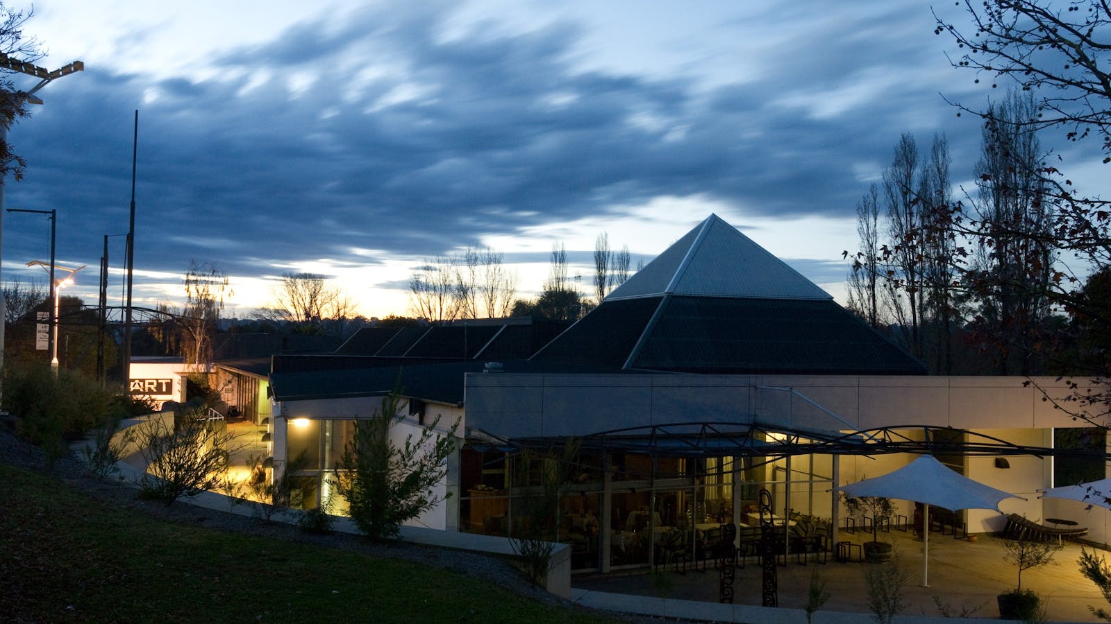
New England Regional Art Museum
106 -114 Kentucky Street, Armidale, New South Wales, Australia, 2350
(02) 6772 5255
office@neram.com.au
Get Directions
Caters for people with sufficient mobility to climb a few steps but who would benefit from fixtures to aid balance. (This includes people using walking frames and mobility aids) Caters for people who use a wheelchair. Caters for people who are deaf or have hearing loss., Ambulant Access, Wheelchair Access
Ambulant Access, Public Toilet, Parents Room, Non-smoking, Picnic Area
Picnic Area, Cafe
Public Toilet
WiFi
Parking, Coach Parking
Caters for people with sufficient mobility to climb a few steps but who would benefit from fixtures to aid balance. (This includes people using walking frames and mobility aids) Caters for people who use a wheelchair. Caters for people who are deaf or have hearing loss., Ambulant Access, Wheelchair Access, Accessible for Hearing Impairment, Caters for people with sufficient mobility to climb a few steps but who would benefit from fixtures to aid balance. (This includes people using walking frames and mobility aids) Caters for people who use a wheelchair. Caters for people who are deaf or have hearing loss.

The New England Regional Art Museum (NERAM) is the public regional gallery located in Armidale in the heart of the New England North West region

Saumarez Homestead
National Trust of Australia (NSW)
230 Saumarez Road, Armidale, New South Wales, Australia, 2350
(02) 6772 3616
saumarez@nationaltrust.com.au
Get Directions
Picnic Area
Picnic Area
Walks
$10 ~ $42 AUD*
Parking, Coach Parking
* Visitation Gardens: Family AUD34 Adult AUD12 Conc AUD10 Child under 5 - free Member - free Guided House Tour & Visitation Gardens: Family AUD42 Adult AUD15 Conc AUD12 Child under 5 years - free Member - free Ask us about the benefits of becoming a National Trust NSW member.

Saumarez Homestead, an historic country homestead and ten hectare grazing property, was first inhabited by British settlers led by Henry Dumaresq in the 1830s.

Using QR Codes

Open your Camera App or download a QR reader

Point your camera at the QR Code which will launch the correct app

Access websites and features such as maps and directions

Optional Downloads

GPX File

For use in apps such as GPS Navigation and wearable devices

KML File

For use in offline mapping products, such as maps.me and Google Maps

PDF File

A link to this document

Build your own itineraries

Alpaca provides a way for you to build your own itineraries. Visit https://alpaca.travel

Terms of Service and Attribution

Copyright Alpaca.travel, Mapbox.com and OpenStreetMaps openstreetmaps.com.
Terms of Service https://alpaca.travel/terms