
Details
Make your way up the coast of Central NSW from Port Macquarie, stopping at famous surf breaks and pretty beach towns.

With 17 breathtaking beaches in the region, you’ll be spoilt for choice whether you like to surf, swim, snorkel or sunbake.
.jpg)

Sights & Activities


Greater Port Macquarie has things to see and do for all ages of various interests, with the Pacific Ocean, golden beaches and lush rainforests.


Sea Acres Rainforest Centre is the ideal place to begin your fascinating journey through Sea Acres National Park, near Port Macquarie.


Take the Settlement Point Ferry and Maria River Road to Crescent Head. Please note this is a unsealed road - check conditions.


The Koala Hospital is Australia's first hospital solely devoted to the care of these precious creatures, with a walk and talk tour every day
A surfer’s paradise in the heart of the North Coast, this stylish yet easy-going town has breaks for everyone from beginner to expert.

Sights & Activities
Greater Port Macquarie has things to see and do for all ages of various interests, with the Pacific Ocean, golden beaches and lush rainforests.
Sea Acres Rainforest Centre is the ideal place to begin your fascinating journey through Sea Acres National Park, near Port Macquarie.
Kempsey has heritage buildings, museums and Aboriginal cultural experiences to explore, and is the birthplace of the iconic Akubra hat.


Sights & Activities


Say g’day to the memory of one of the country’s most legendary musicians surrounded by objects and images from his life and music career.


Wander through the 2.75 hectare park, or take an interactive guided tour to learn the significance of the bushlife to traditional culture.
Take a break for some from unique treats at Eungai Creek, a tiny town that’s in the middle of everywhere.


Sights & Activities


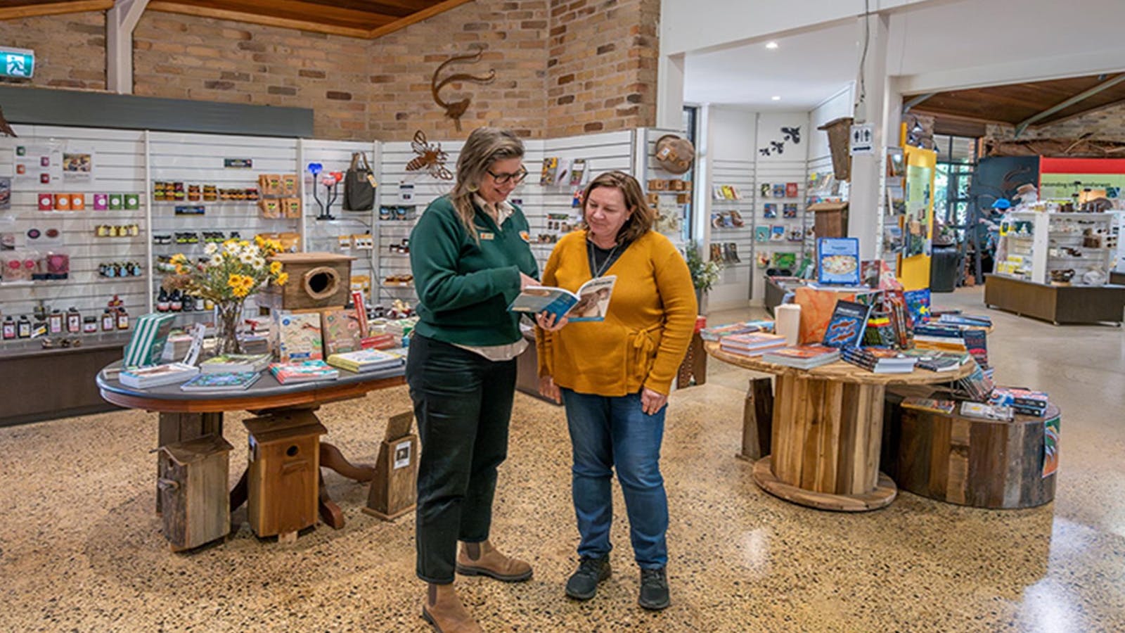
The Nambucca Valley Visitor Information Centre provides a range of information for the tourists and travellers alike.


Sample buffalo milk, cheese, yoghurt and gelato on this farm tucked away just off the Pacific Highway. Bookings are essential.
Cast a line in the meandering Nambucca River or sit by the water with a glass of local wine produced in a boutique vineyard.


Sights & Activities


The Nambucca Valley Visitor Information Centre provides a range of information for the tourists and travellers alike.


The Waterfall Way Visitor Centre is your gateway to exploring the breathtaking beauty and rich heritage of the Bellingen Shire.


Built in 1885, the Macksville Hotel has been fully refurbished, complete with an impressive façade and new bar and bistro.


Set out from Scott's Head on a scenic bush and beach walk through the Aboriginal-owned Gaagal Wanggaan (South Beach) National Park.
Your final destination for today is a place where outdoor art meets natural beauty on a striking headland between river and ocean.


The Nambucca Valley Visitor Information Centre provides a range of information for the tourists and travellers alike.
The Waterfall Way Visitor Centre is your gateway to exploring the breathtaking beauty and rich heritage of the Bellingen Shire.


Wander through an outdoor gallery where the canvases are seaside boulders.
Discover a vibrant community of artists and artisans, and time your visit to celebrate with the locals at one of the many festivals.


Sights & Activities


The Waterfall Way Visitor Centre is your gateway to exploring the breathtaking beauty and rich heritage of the Bellingen Shire.

Learn about the National Park's flora and fauna in the intriguing education area at the Dorrigo National Park Rainforest Centre.


Set in a charming century-old church, enjoy the relaxed take on local, simple ingredients with regionally sourced local produce.


Foodies know Sydney's Bloodwood restaurant. Popla is its not-so-little sister. Experience a creative menu that adapts to the seasons.
This sleepy rural town has a World Heritage-listed national park and ancient rainforest right on its doorstep.


Sights & Activities


Learn about the National Park's flora and fauna in the intriguing education area at the Dorrigo National Park Rainforest Centre.
The Waterfall Way Visitor Centre is your gateway to exploring the breathtaking beauty and rich heritage of the Bellingen Shire.


If you're visiting at Easter, catch this extraordinary annual event and see a showcase of artworks crafted by artisans living on the Dorrigo


Walk through lush rainforest to reach Crystal Shower Falls and enjoy the spectacular views from the rocky cavern behind the waterfall.


Pack a picnic and head to Dangar Falls. After a short walk to the base, you'll find a stunning picnic area with views of the waterfalls.


Views don't get much better. At Griffith Lookout, see sweeping views of the Great Dividing Range and out to the magnificent Pacific Ocean.


Complete your day with a charming dining experince at the heritage listed Dorrigo Hotel, built in 1925.


Fancy a hike? This strenuous hike to Red Cedar falls is full of suspense, with dramatic vistas and the World Heritage-listed rainforest.


With panoramic views on offer, there’s no better lookout than this 70m boardwalk overlooking the escarpment.
This small village sits near the Nymboida River and began life as a stop for Cobb & Co stagecoaches on the old wool trail.


Sights & Activities


Located in the historic Grafton Regional Gallery, Clarence Valley Visitor Information Centre staff will ensure you enjoy your stay in the region.


From obstacle courses and climbing walls to canoeing and tubing, the Nymboida Canoe Centre has a range of exciting adventures available.


From white water rapids to taking the 4WD off-road, Nymbodia National Park offers a range of activities. 4WD access required.
Tucked alongside the Clarence River, Grafton is a town preserved in time and a must-see for history buffs.


Sights & Activities


Located in the historic Grafton Regional Gallery, Clarence Valley Visitor Information Centre staff will ensure you enjoy your stay in the region.


Immerse yourself in the history of the region.


Start your day browsing the local art scene.
From beach camel rides to the iconic Big Banana, Coffs Harbour is a town like no other and the perfect place to end your drive.

Sights & Activities


Woolgoolga Visitor Information Centre is an accredited AVIC and is for anyone wanting to know a little more about this wonderful little oasis.
The Waterfall Way Visitor Centre is your gateway to exploring the breathtaking beauty and rich heritage of the Bellingen Shire.


Climb aboard a camel caravan.


Take a break and make a difference.


See the stretch of the coastline or wander a walking trail.


Explore grass roots farming at its best.


Swing into action on the Coffs Coast.


Prepare to paddle in picture-perfect surroundings.
Using QR Codes
Open your Camera App or download a QR reader
Point your camera at the QR Code which will launch the correct app
Access websites and features such as maps and directions
Optional Downloads
GPX File
For use in apps such as GPS Navigation and wearable devices
KML File
For use in offline mapping products, such as maps.me and Google Maps
PDF File
A link to this document
Build your own itineraries
Alpaca provides a way for you to build your own itineraries. Visit https://alpaca.travel
Terms of Service and Attribution
Copyright Alpaca.travel, Mapbox.com and OpenStreetMaps
openstreetmaps.com.
Terms of Service
https://alpaca.travel/terms